| . |  |
. |
by Bruce Moomaw Cameron Park - March 15, 2000 - At this year's annual Lunar and Planetary Science Conference held in Houston Mars was once again a star attraction. Despite the embarrassing fiasco of the 1998 Mars probes, there is a flood of important new information coming in from Mars Global Surveyor, the one working Mars spacecraft. The most interesting aspects of Mars remains the two big questions: was there ever life on it, and was there enough liquid water on the surface of ancient Mars that it was an environment in which Martian life could have evolved?
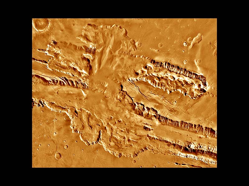
Unfortunately, that data is still too ambiguous to give us a really firm answer. In a few more years, we certainly will be able to answer the question of water -- but at this LPSC meeting, there has still been room for a great deal of scientific wrangling over just how clear the marks of ancient liquid water on Mars' surface really are. First, there is the matter of the branching, dried-up "valley networks" scattered over Mars' surface. These were clearly carved by water running during a protracted period of time; but we aren't sure whether that water actually ran across the surface of Mars, or whether it trickled along more slowly just beneath a frozen ancient surface and gradually tunneled out underground channels that enlarged until their roofs finally fell in -- a process which is called "groundwater sapping", and which is surprisingly common here on Earth. Up to now, the general feeling has been that the Martian valley networks look more as though they were carved by groundwater sapping. They seem to lack the fine networks of sources which rivers and streams carved by surface runoff have; instead, they often seem to commence abruptly at some point on the surface, as though their sources were underground springs where more deeply buried water was gushing outwards on to the surface.
"Groundwater sapping, either fed by a decaying regional groundwater system or by hydrothermal [hot spring] circulation, is an insufficient explanation for [the features seen]; recharge by precipitation and local runoff-groundwater throughflow must have occurred." And Robert Strom describes Mars' Loire Valley as "the Grand Canyon of Mars": "Since the [geological characteristics] of the dissected Loire Vallis is so similar to the Grand Canyon, it is probable that water runoff (e.g., precipitation) was important in its formation."
|
| |||||||||||
| The content herein, unless otherwise known to be public domain, are Copyright 1995-2016 - Space Media Network. All websites are published in Australia and are solely subject to Australian law and governed by Fair Use principals for news reporting and research purposes. AFP, UPI and IANS news wire stories are copyright Agence France-Presse, United Press International and Indo-Asia News Service. ESA news reports are copyright European Space Agency. All NASA sourced material is public domain. Additional copyrights may apply in whole or part to other bona fide parties. Advertising does not imply endorsement, agreement or approval of any opinions, statements or information provided by Space Media Network on any Web page published or hosted by Space Media Network. Privacy Statement All images and articles appearing on Space Media Network have been edited or digitally altered in some way. Any requests to remove copyright material will be acted upon in a timely and appropriate manner. Any attempt to extort money from Space Media Network will be ignored and reported to Australian Law Enforcement Agencies as a potential case of financial fraud involving the use of a telephonic carriage device or postal service. |

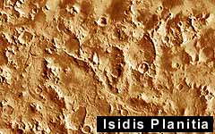 But this year's LPSC papers shows both sides have much to debate yet. Some authors take the optimistic view. James M. Moore, for example, says that in the Libya Mountains -- the rugged highlands just south of the Isidis Basin which was the